Building Surveys
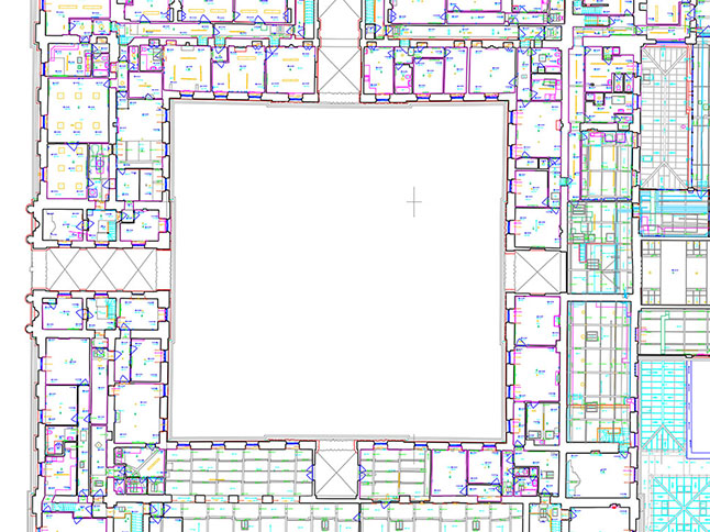
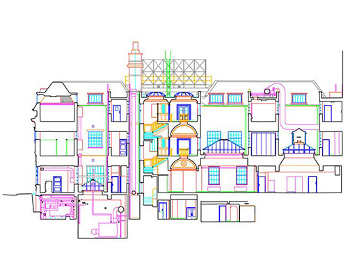
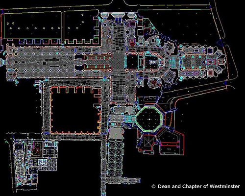
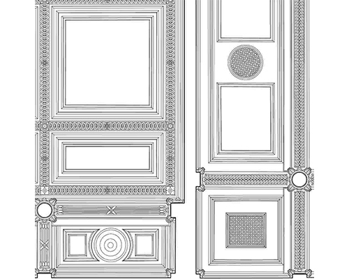
The Downland Partnership utilises the latest laser-scanning technology to ensure the shortest on-site survey presence and the very fastest generation of plans, sections and elevations. We specialise in giving our clients just that little bit more than they were expecting at the best rates. Point-cloud technology means that one data-set can be used to generate any drawing of a scanned area whether it be a plan, section, elevation or ceiling plan. And of course, we dont need to return to site if that extra section or level is required.
In the rare event that laser-scanning is unsuitable, we have the option of undertaking the survey via other non-contact methods such as REDM or photogrammetric techniques.


