Heritage Recording
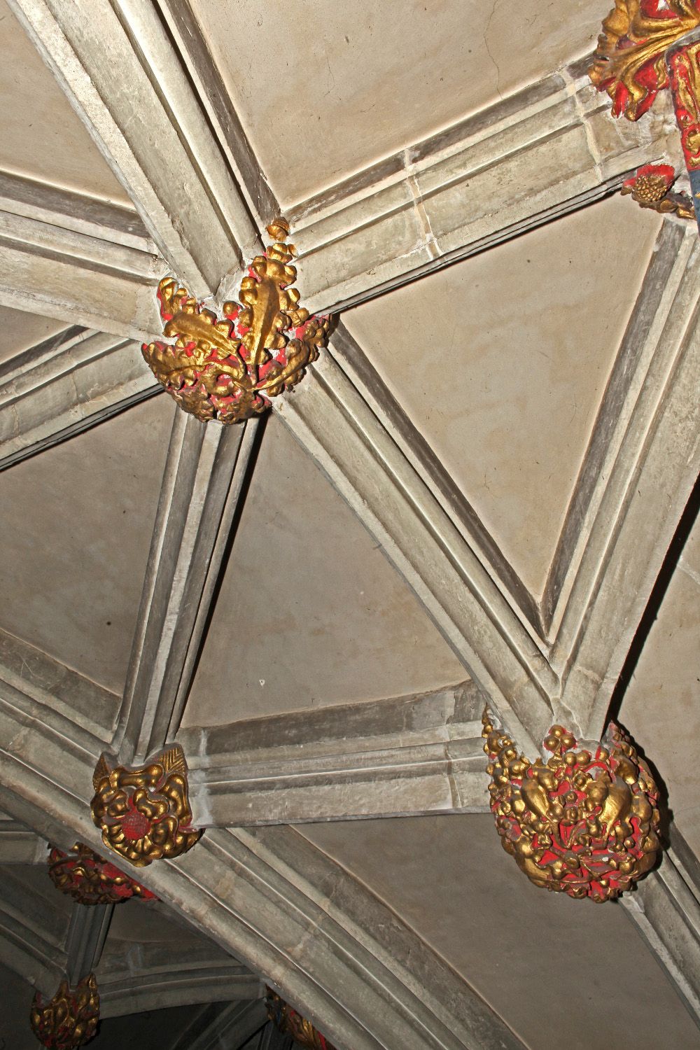
The Downland Partnership is rightly proud of it's unrivalled track record in recording important historic buildings in the UK. Recent surveys have included work at Westminster Abbey, York Minster and the Cathedrals at Salisbury and Canterbury. Our experience in the field goes back to the 1970s when Tony Davies was one of the first to use photogrammetry for historic building recording.
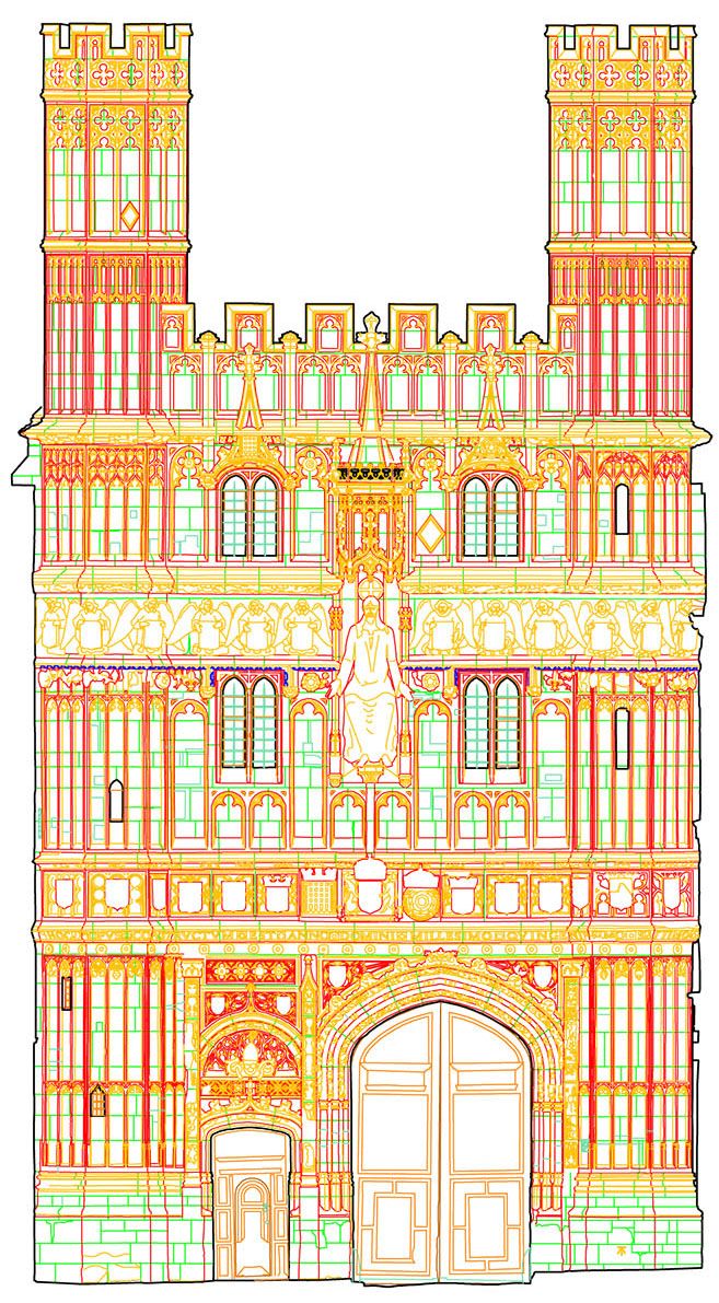
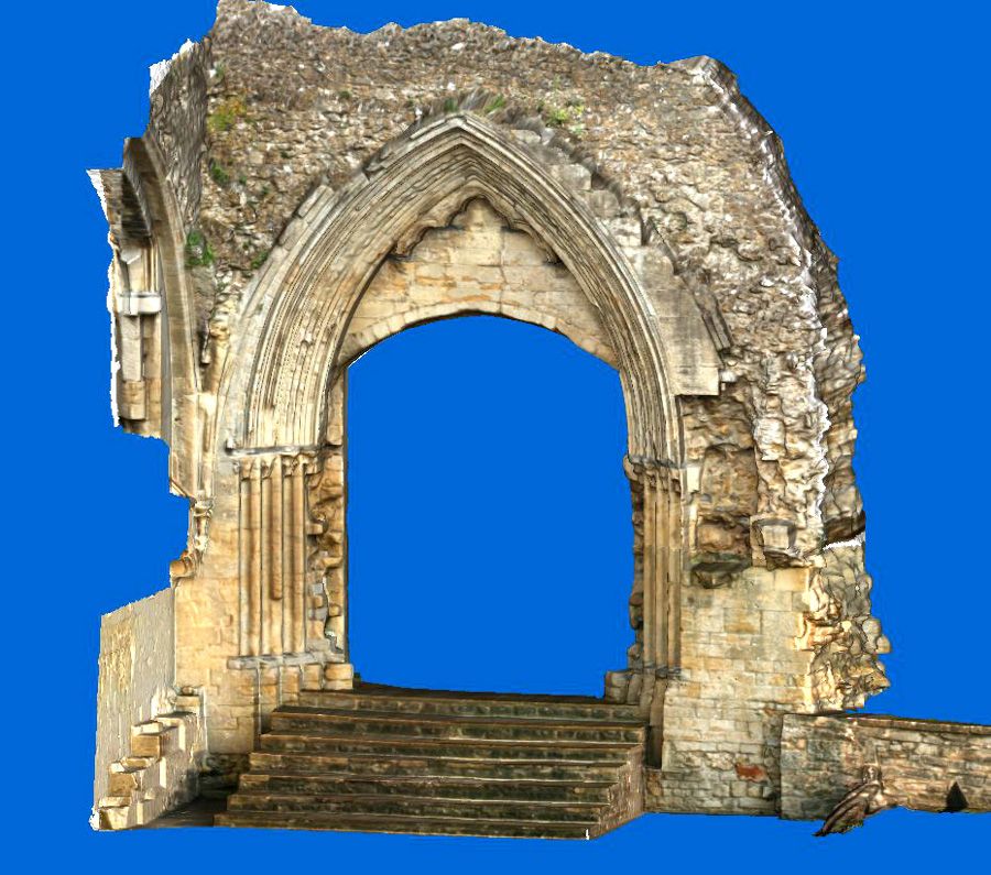
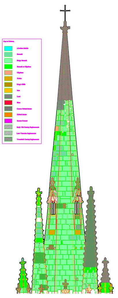
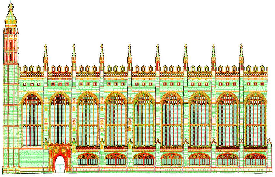
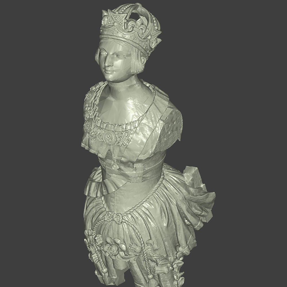
We offer a wide range of survey products which range from highly detailed plans, elevations and sections to laser-pointcloud derived 3D surface models photo-rendered with high resolution imagery.
We use the latest technology for both site recording for data and the processing of drawings and models. Laser-scanning using Leica RTC360 and Faro Focus X130scanners provides high resolution point-clouds captured at rates of over a million points per second. Pointclouds are registered using Faro Scene or Leica's Cyclone/Cloudworx. Drawings and 3D CAD modelling is carried out using Rhino 3D with the pointcloud plugin Arena4D. 3D surface models can be instantly generated from point-clouds via Leica's 3dReshaper software. Our photogrammtric suite of software includes Agisoft Photoscan and Bentley ContextCapture both of which convert photography into pointclouds and photo-rendered 3D models.
