Laser Scanning
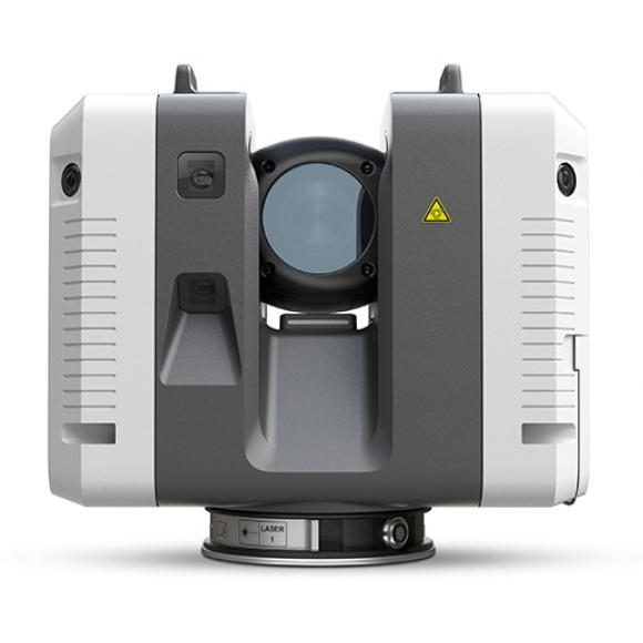
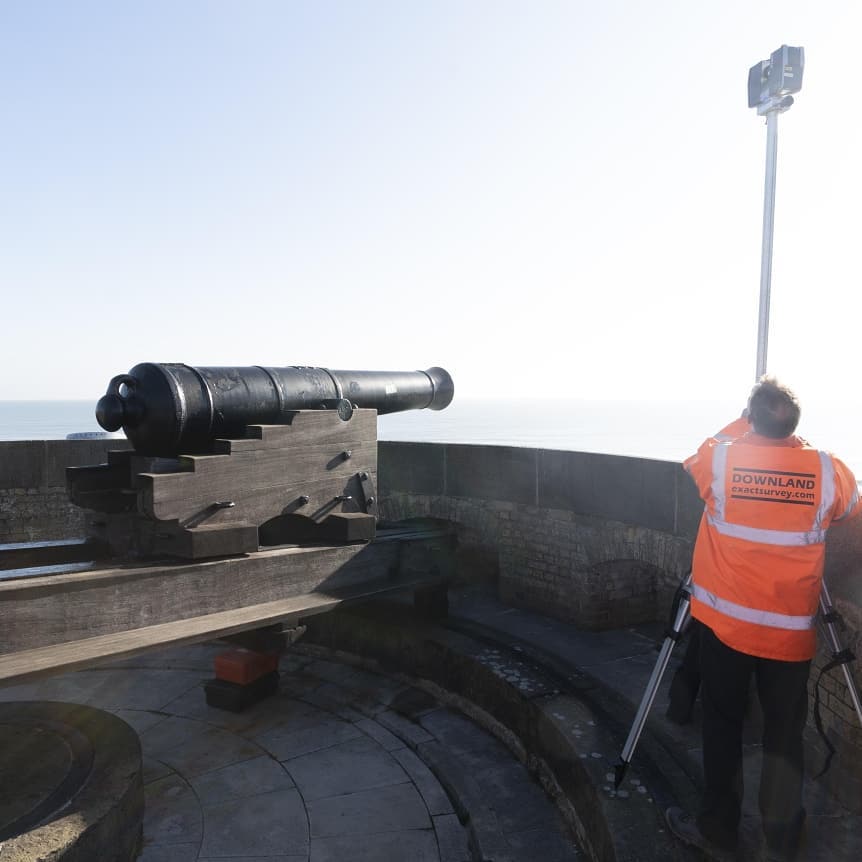
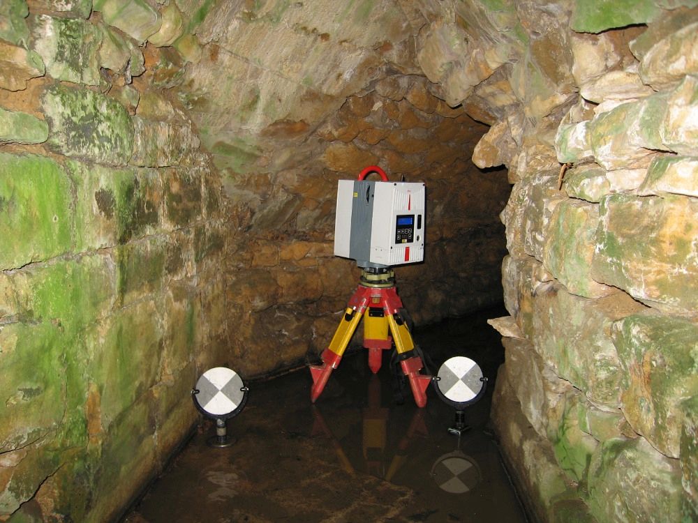
Laser Scanning has become the standard for fast accurate measurement of anything from buildings to ships and industrial sites. Our Leica RTC360 and Faro 130X scanners are capable of measuring over 1 million points per second with densities of up to 1 point per1mm. This gives us unrivalled resolution when drawing and provides the most detail for surface modelling.
The Downland Partnership has invested heavily in specialist pointcloud software including Faro Scene, Faro Webshare, Leica Cyclone, Leica TruView, Veesus Arena4D, AutoDesk Recap and Leica 3dReshaper as well as developing our own software systems.
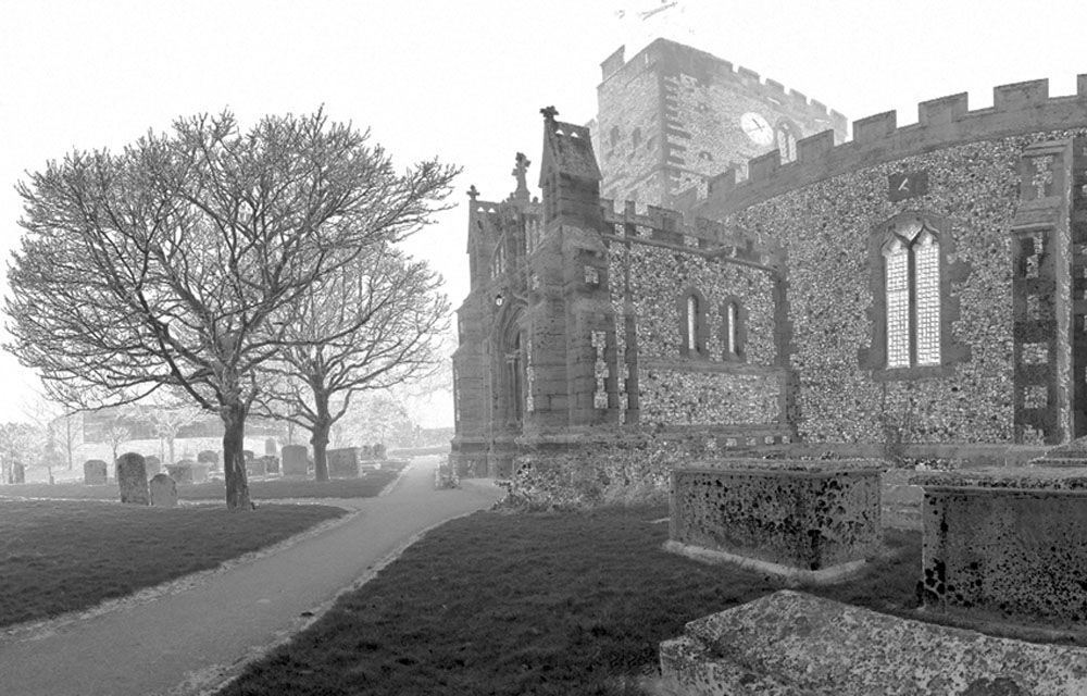
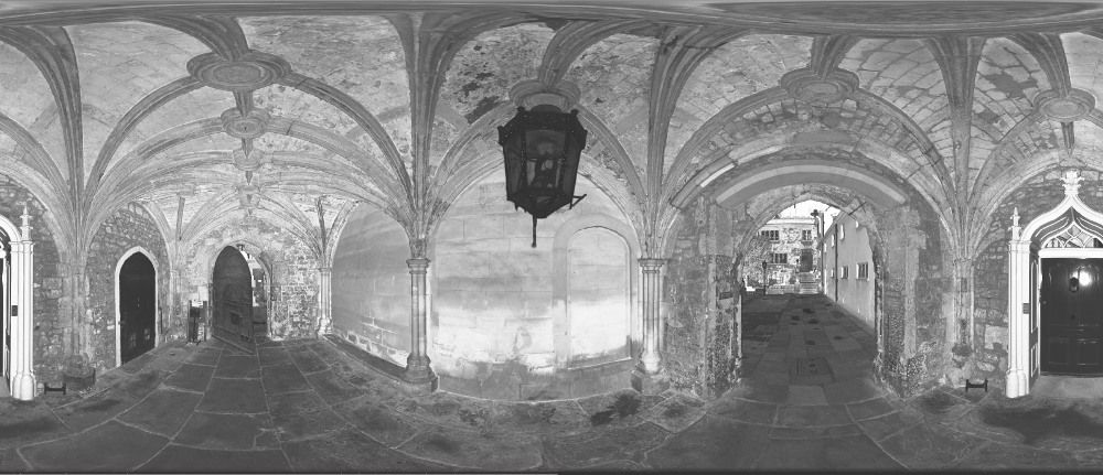
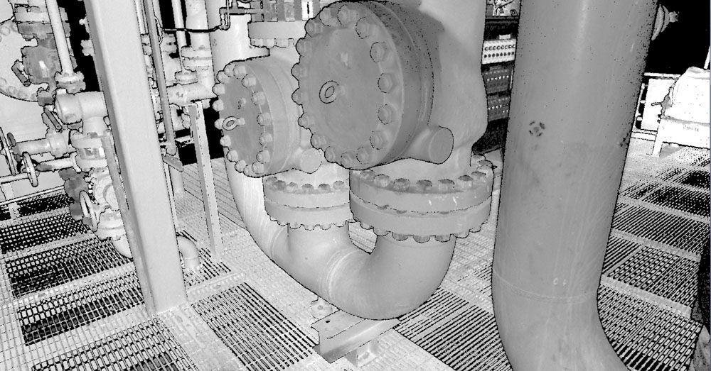
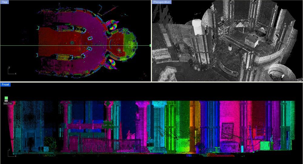
Laser Scanning can be used for a wide range of surveying products. We have used pointcloud data to produce finely detailed drawings of many of the Abbeys and Cathedrals across the UK and overseas as well as providing clients such as British Gas with 3D data of their plants as far away as North Africa. Pointcloud data can also be used for surface modelling, deformation analysis and for producing virtual reality and BIM models.
